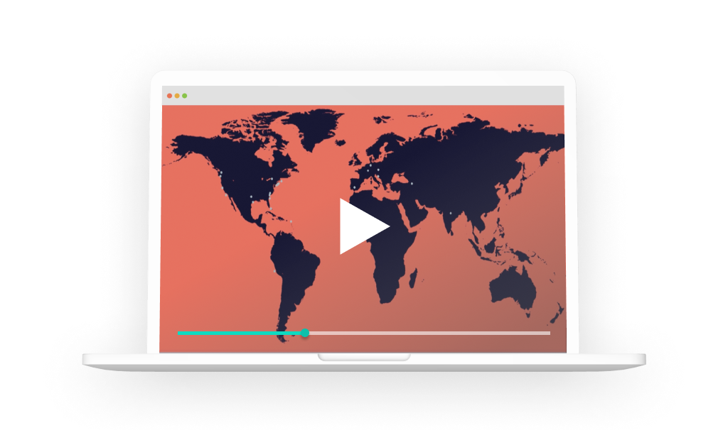
This data-visualisation project consists in visualising all the design actors throughout the world, thanks to the twitter flow (API). The principle is extremely simple, it consists of retrieving all the live tweets related to the word “design”. Once the tweet has been published, a program gives the position (latitude and longitude) and they are displayed live on the map. According to the various tests that have been carried out, this representation makes it possible to show the various entities related to design throughout the world. Typically, it shows all the companies, associations, events, museums, galleries, that localise their tweet.
Art Geolocated Tweets Map